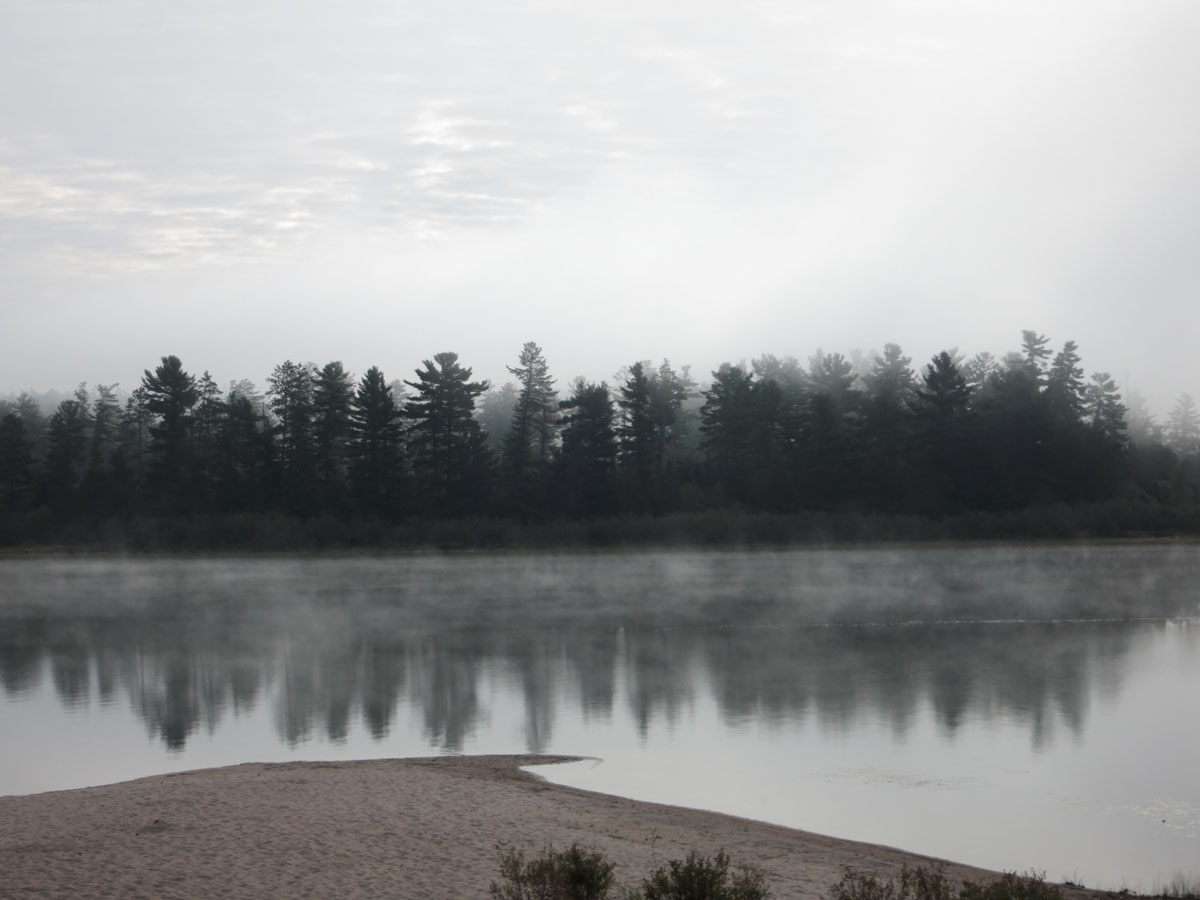
Location of 20160910-053
Algonquin Park / Lake Travers
Notes
Disclaimer: The maps and overlays are for illustrative purposes only and are not intended for navigation. The base maps tiles and some overlays have been obtained from external sources and have been used without modification or verification. Some feature names have been modified for consistency across this website and with other sources. While these data are believed to be mostly accurate, there are likely some errors. Consequently, any use of this data is not risk free. If you use this data, that risk is entirely your responsibility.
Sources
Map Sources
The Base Map tiles are © ArcGIS.
Algonquin Map tiles (both V4 and V5) are licensed  . They are from algonquinmap.com / Jeff's Map LTD and are used with permission and without modification.
The "National Topographic", "Elevation", and "Land Sat7" map tiles are licensed under the © Open Government Licence - Canada.
The Nature Reserve Zones and the Historical Zones are reproduced by mcelroy.ca under Licence with the Ontario Ministry of Natural Resources © Queen's Printer for Ontario, 2019